
Local discoveries · Start in central Kerikeri
Hidden Places Within 30, 60 and 90 Minutes of Kerikeri
Some of the most rewarding hidden gems near Kerikeri are close to town: a woodland picnic, a quieter inlet stop or a coastal heritage walk. With a little more time, you can reach the beaches and headlands of the Far North.
Use the 30, 60 and 90-minute bands to choose a manageable outing. These are approximate one-way planning bands, not deadlines; check the exact destination and road conditions before leaving.

How to use the 30, 60 and 90-minute bands
All drive times start in central Kerikeri and exclude your visit, parking and the return journey. The bands are deliberately approximate: a destination around the half-hour boundary appears in the next band if it deserves more breathing room. These are places to visit thoughtfully, not a race to the edge of a circle on a map.
“Hidden” here means easy to overlook when planning a first visit. Some places are well known to locals and none are a promise of solitude. Choose one main destination and one small stop, carry water and leave places as you found them.
Within approximately 30 minutes
Roland’s Wood — a woodland pause close to town
Drive: allow 5–10 minutes along Kerikeri Inlet Road; the trust places it about 3.5 km from town. Rather than a big attraction, this is a place to take a short wander and notice the trees, light and changing seasons.
It works well for an unhurried morning or a picnic break on a fine day. The woodland paths can be muddy and uneven, so do not assume step-free access. Dogs use the park, including off lead; keep that in mind with small children. Park at a designated entrance and respect neighbouring homes.
Ōpito Bay — the Northland inlet, not the Coromandel
Drive: around 15–20 minutes, according to Kerikeri Tourism. This small inlet-side stop is useful when you want to see salt water without committing to a long beach day.
Go for a short shore visit and a picnic in settled weather. The public ramp is a working access point, not extra picnic or play space, and it gets busy in summer. Keep children clear of reversing trailers and park without blocking residents or boats. Do not drive your rental onto the beach.
Kerikeri Tourism’s access information · Directions to Ōpito Bay, Northland
Windsor Landing / Rangitoto — a different angle on the inlet
Drive: allow 15–25 minutes; the tourism listing places it approximately 10 km east of central Kerikeri, off Kerikeri Inlet Road. The southern side of the inlet gives a different perspective from the more familiar basin.
This is a brief waterside stop rather than a destination with a full attraction complex. Choose a calm day, bring your own refreshments and use only public access. The jetty, pontoon and parking serve boat users, so keep clear of launch operations and supervise children closely.
Official local ramp and access details · Google Maps directions

Why choose a Blue Star hybrid?
Reach the quieter places with your own hybrid
Many of Kerikeri’s quieter bays and heritage stops are easier to explore with your own car. A Blue Star self-charging hybrid lets you change the day’s plans without looking for a charger, while its fuel-efficient design helps you make the most of the kilometres you travel.
Check cars & availabilityWithin approximately 60 minutes
Rangihoua Heritage Park — coast with a story
Drive: about 40 minutes, as listed by the park. This northern Bay of Islands heritage landscape rewards visitors who want to understand the relationships behind early Māori–Pākehā encounters, rather than simply collect a coastal photograph.
Set aside time for the park’s interpretation and the walk, not just the drive. Choose a dry, settled day; the return involves uphill walking and exposed ground. Follow the marked public route and respect cultural sites and neighbouring land. Check the park’s trip guidance for current access and bring walking shoes.
Official Rangihoua trip information · Google Maps directions
Mātauri Bay — a coastal morning with room to linger
Drive: around 30 minutes in Tourism New Zealand’s guide; allow 30–45 minutes for a relaxed arrival. It sits on the boundary of the shorter band, so give yourself the extra time rather than forcing a hurried visit.
The bay is more widely known than some places in this guide, but it is a worthwhile introduction to the coast north of Kerikeri. Plan a beach walk or picnic in suitable weather. Use signed visitor access and parking, respect campground boundaries and do not treat headlands or private land as freely accessible viewpoints. Sea conditions need checking before any swim.
Tourism New Zealand’s Mātauri Bay guide · Google Maps directions
Whangaroa waterfront — harbour views without a summit climb
Drive: allow 35–45 minutes via SH10 and Kāeo. Local tourism places nearby St Paul’s Rock about 40 minutes from Kerikeri; a route-planner check puts the township about 36 km away.
Enjoy the harbour from public waterfront areas instead of assuming you need to tackle a steep track for the visit to count. This can suit travellers wanting a gentler outing, though paths, parking and kerbs vary. A calm morning is a good time to appreciate the reflections; allow a little time to explore the village.
Keep working wharves clear and do not enter private pontoons. If you want to add St Paul’s Rock / Ohakiri, check the official track advice separately: it is a different activity requiring suitable footwear and conditions.
Local tourism information for Whangaroa · Google Maps directions
Within approximately 90 minutes
Taumarumaru Scenic Reserve — a quieter Doubtless Bay headland
Drive: allow about 65–80 minutes via SH10 to the Coopers Beach area. This uses the Mangōnui corridor, then adds the coastal continuation and reserve access; check the exact car-park route before leaving.
The reserve offers a way to spend time with the headland landscape beyond the main village stop. DOC describes it as a place with important Māori occupation history. Walk respectfully on established routes and leave archaeological features undisturbed. Dry conditions make the visit more comfortable; exposed paths, uneven ground and coastal edges need care.
Bring water and a picnic, use the signed reserve entrance, and do not cross private land in search of a shortcut to the shore. Pair it with a single Doubtless Bay stop rather than trying to add Cape Reinga.
Rāwene — a harbour village worth slowing down for
Drive: allow about 70–90 minutes by the southern Hokianga road route. A local accommodation provider lists Kerikeri at about 72 km; allow time beyond the uninterrupted drive for parking and finding your first stop.
Rāwene makes a satisfying alternative to a beach-focused day: take a waterfront wander, look at the village buildings and check whether Clendon House is open for a heritage visit. Do not assume the house is open every day; plan around its current arrangements.
Choose a settled day for the harbourfront and check local access after heavy rain. You do not need to take the ferry to visit from Kerikeri on the southern-shore route. Crossing to Kohukohu adds a timetable, a fare and more road travel.

Small choices that make a better day trip
Choose the outing around the weather, your mobility and how much time you want out of the car. Boat ramps are working places, historic sites carry cultural significance, and a track’s short distance does not guarantee easy walking.
- Respect signs, gates and private property. A map pin does not create public access.
- Use marked parking and formed public paths; never take a standard rental onto a beach.
- Check NZTA and local council updates after bad weather.
- Carry supplies and take rubbish away. Avoid relying on a remote café being open.
- For persistent rain, use the rainy-day activity guide. For a longer touring day, compare our Northland scenic drives.
Blue Star’s Kerikeri pickup information and airport-to-Kerikeri guide can help connect your arrival with a manageable first outing.
Your questions answered
Are these places all free to visit?
This guide does not promise free entry. Public outdoor stops and privately operated heritage experiences have different arrangements. Check the linked official information, especially for buildings, tours and parking.
Can I fit several 90-minute destinations into one day?
Choose one main destination and nearby stops. Ninety minutes is a one-way planning band, and return driving plus walks and lunch quickly fills a day.
Are the places suitable for limited mobility?
Access varies. Waterfront stops may offer gentler options than hillside walks, but this is not a step-free access certification. Check the exact paths, parking and facilities with the site manager before travelling.
Why are some well-known places included?
The guide mixes lesser-known stops such as Roland’s Wood and Windsor Landing with useful coastal anchors. “Hidden gem” does not mean undiscovered or empty.
Are the drive times exact?
No. They are approximate planning allowances from central Kerikeri. Check live navigation, your chosen entrance and road conditions, and allow extra time around holiday traffic or road works.
More about booking and driving with us: Blue Star rental FAQs.
Keep exploring Northland




Your Next Adventure Starts in Kerikeri
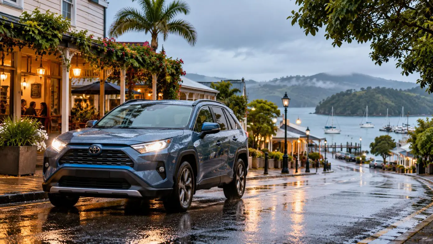
Many of these places are easier to reach with your own vehicle. Compare the Blue Star hybrid range, choose a car that fits your group and arrange a Kerikeri pickup that suits your stay.
Choose your dates belowAvailability, pickup arrangements and rental conditions are confirmed with your booking.
Check cars & availability
Choose your collection point and travel dates to see the available cars.
Open the booking page if you prefer.
Guide checked 29 October 2026. Travel conditions, operator arrangements and fleet listings can change. Follow current official advice.